
2 Fans
Old Map of the Oregon Trail by William Forsyth McIlwraith, 1932: Mormon Trail, Westport, Whitman Mission, Ft. Vancouver
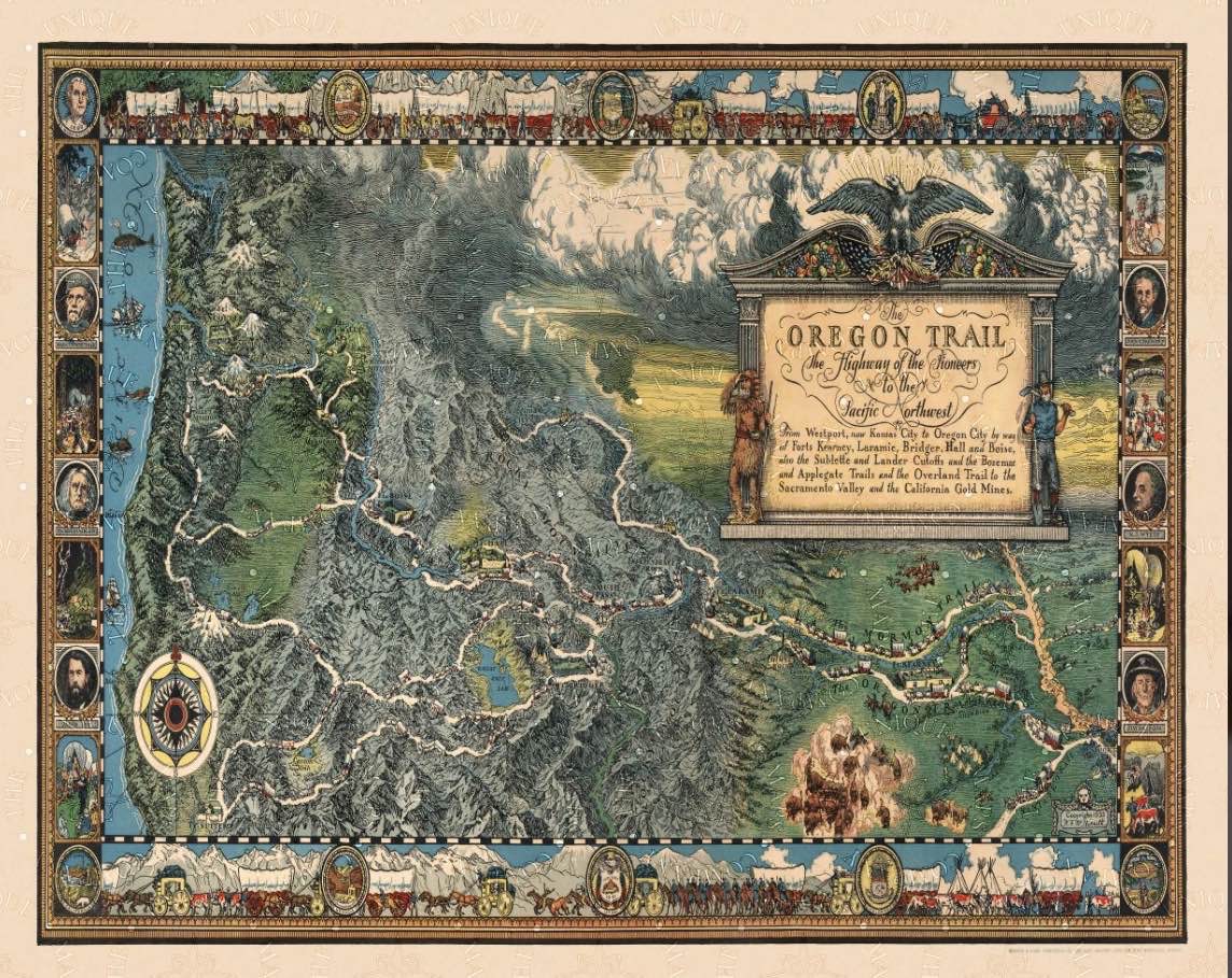
Featuring the Oregon Trail, Independence Rock, South Pass, Fort Hall, and The Dalles The Oregon Trail was a 2,000-mile-long route that settlers used to travel from the Midwest to the Pacific Northwest in the 19th century. This map, created by William Forsyth McIlwraith in 1932, is a detailed and informative guide to th
Featuring the Oregon Trail, Independence Rock, South Pass, Fort Hall, and The Dalles The Oregon Trail was a 2,000-mile-long route that settlers used to travel from the Midwest to the Pacific Northwest in the 19th century. This map, created by William Forsyth McIlwraith in 1932, is a detailed and informative guide to th